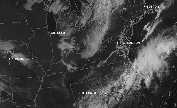
A high pressure system is firmly in control of our region at the moment. This means that we can expect to see plenty of sunshine and high temperatures climbing into the mid 80s to lower 90s today. If you must be outdoors, please be sure to drink plenty of water and take several breaks within air conditioned spaces just to be on the safe side. With that being said, the Storm Prediction Center has the far southwest corner of the state (closest to the Tennessee and Kentucky borders) underneath a marginal risk for severe weather today. Anything that does develop should be very isolated in nature, but keep an eye on the radar this afternoon just in case. Lows this evening will drop down into the lower 60s to low 70s underneath partly cloudy skies across the region.

A cold front will do its best to begin impacting our region tomorrow. It will have a tough time with that, however, as the area of high pressure impacting our region today looks to stick around through tomorrow. This means that you can look forward to another sunny day for your Tuesday, but be aware that a few showers and storms could pop up by the end of the day (especially in the afternoon and early evening hours). Maybe keep that umbrella nearby on your way home for work tomorrow just to be on the safe side. High temperatures will stay about the same, hovering in the mid 80s to lower 90s. Any lingering precipitation should diminish as we progress through the evening and overnight hours. You can also plan to see partly cloudy skies and low temperatures dipping into the lower 60s to low 70s tomorrow evening as well.
Wednesday will actually bring more of the same to our region. Another area of high pressure will move in behind the front’s passage, meaning we can expect another sunny day. Nevertheless, the threat for just a few pop-up showers and thunderstorms remains during the afternoon and early evening hours, so keep that in mind as you head out and about. Highs tomorrow will top out in the mid 80s to lower 90s by days end. Cloud coverage will increase Wednesday evening, as lows in the mid 60s to lower 70s and another shot at some lingering precipitation continue to be a part of the forecast.

An upper-level disturbance will combine with a surface low-pressure system to bring our best chance for some widespread rain over the next few days to the area on Thursday. That trend looks to continue up into the first portions of the weekend, so you’ll definitely want to get out and enjoy the sunshine while it lasts over the next several days.
-N